Malaysia

After Singapore we continued on to Malaysia, with the rest of the family meeting us in Batu Ferringhi for our usual visit to the Golden Sands. Anna & Michael were on the way back from Italy, Mark, Jess and Emily were on the way back from a visit to Jess’s folks in London, Nikki flew in from Sydney and Richard & Esther came down from Kanga.

I’ve been here a few times now and it’s always nice to kick back and relax with the family for a few days. Days are bookended by the breakfast buffet at the hotel and evening meal at the local hawker centre, with lounging by the pool taking up a fair proportion of the rest of the day. What’s not to like?

A trip into Penang is always worthwhile too, especially since the old streets obtained World Heritage listing in 2008, coincidentally also the year of my first visit. It’s quite interesting to see how the city is changing, developing a bit of a hipster culture in places while keeping the hawker aspects alive and well. The amount of street graffiti continues to grow too.

Singapore

We flew to Singapore a few weeks ago, for a few days before continuing on to Malaysia to visit Jacqui’s Dad. It was my first time visiting Singapore, only having stopped at Changi on the way to Europe previously, so it was nice to wander around and get a feel for the city state.

On the surface it’s a little antiseptic, everything spotless in the touristy section, not much traffic on the roads, same shops etc. as everywhere else in the world, epitomised by the Marina Bay Sands’ “The Shoppes” - complete with fake Olde Worlde name - where you won’t find a store that isn’t a designer brand. Yet you often round a corner to where the real people live and work and it’s busy, vibrant and full of hawker stalls selling cheap, tasty food. I’m not sure if it was Anthony Bourdain who said that all good food comes from street food, or maybe it’s a truism amongst chefs, but it’s certainly true in Asia and particularly in Singapore as it has always been such a melting pot of cultures.

It’s also a surveillance state - I’ve never seen so many CCTV cameras keeping an eye on everyone - and I wonder how much is being done with the footage. Is it merely temporarily recorded in case of crime, or are they heading the way of the Chinese and applying facial recognition on a large scale? Cars are also stupidly expensive (circa $95k for a Hyundai i30 which costs about $22k in Aus), which explains the lack of traffic, though the public transport system is excellent, so that’s an overall win in my book.

Single-party Government is always a bit suspect, though the country scores highly on lack of corruption etc. and elections are technically free, though there’s no effective opposition. The ‘benevolent dictator’ model seems to have helped them transition very effectively from Colonial rule, certainly much better than Malaysia has, though the large income from trade coupled with only a small land mass to manage has undoubtedly made things easier.

Anyway, some superficial thoughts from a superficial visit. We had a great time exploring by foot over a couple of days. Highlights were the various hawker stalls, Tiong Bahru, walking through Chinatown, Kampong Glam and Gardens by the Bay and seeing the Supertrees light show.

Here’s a few snaps.

Holiday's Over

I’ve just finished almost two week’s holidays with my brother and his family. Although Cormac had visited me briefly when I was in Sydney, his wife Belinda and son Jacob had never been to Oz before, so we made sure to cram as much as possible into the ten days they were here for.

First off was a whirlwind tour around Brisbane, making sure to get a photo at the iconic sign.

Photo at Brisbane Sign

Then it was off to Lone Pine Koala Sanctuary to see some Aussie wildlife. They’re a bit more relaxed with Koalas in Queensland, allowing you to hold one while getting a photo, so we took that opportunity to tick off a bucket list item for Belinda. It’s a sanctuary for over 130 koalas, so each animal only has to deal with people for a very short time before going back to munching on eucalyptus leaves and sleeping.

Koalas

There are plenty of other animals on site and we got to feed some kangaroos and wallabies and also to see wombats, dingoes, Tassie Devils and more. I’d assumed we’d be there for an hour or so, but we ended up spending most of the day there. Well worth a visit.

Next stop was Port Douglas to go diving on the Great Barrier Reef. Cormac and Jacob had been getting their PADI licence specially, and I’d dug up my qualification I’d last used in 2002, so we were good to go. We booked with AquaQuest and I took advantage of their free “Intro” dive to do a quick refresh of the basics before doing a normal second dive with Cormac & Jacob. A great day out on the boat with a fun, professional crew looking after us and no sea-sickness despite the choppy conditions.

We managed to see some nice coral, found Nemo and spotted reef sharks, parrot fish and plenty more, though we missed out on turtles.

Nemo

After the day on the ocean, it was time to investigate the land, so we opted for a walk through Mossman Gorge followed by a crocodile tour on the Daintree River aboard Solar Whisper which, as its name suggests, is a solar-powered boat. We got up close and personal with five different crocs in all, ranging from a 50cm juvenile to a 4m adult, while getting a running commentary on their personalities and behaviour.

Crocodile

We continued on up to Cape Tribulation, stopping at Daintree Ice Cream Co. to sample their wares. They grow a huge range of exotic fruits which they use to make their ice cream - check out black sapote if you come across it, a fruit with brown flesh which tastes like chocolate and has four times the vitamin C of an orange. Delicious!

We flew back to Brisbane for a day of relaxation before jumping in the car to visit my mother-in-law down near Byron. The weather wasn’t great on the first day, but the Paddies seemed happy enough down on the beach with the rain approaching!

Beach

The sun came out for the last day of the holiday, so we ventured in to Byron to check out the most easterly point in Australia, admire the views from the lighthouse and spend an afternoon swimming at The Pass. We even spotted some Humpback whales to round out our Aussie fauna tour!

Byron Lighthouse

One final drive back up the M1 to Brisbane, catching some rush-hour traffic, a hectic pack and then it was off to the airport early the following morning to send them on their way to my sister in NZ. From a balmy mid-20s winter in Queensland to single digits in Wanaka!!

As for me, well it’s time to knuckle down and start shifting this ballast I’ve acquired over the last year. With that in mind, I’ve entered the Noosa Classic in mid-August and I’ve got the Third de France starting at the weekend. More on that later.

Colle Fauniera

Where to start with Colle Fauniera? Well, it’s relatively unknown and I’ve seen it referred to as the “hardest climb you’ve never heard of” or something along those lines. It featured in a coffee table book which provided a lot of inspiration for this trip, Daniel Freibe’s “Mountain High”. The blurb sounded good and it was in the right area to fit into the road trip, so I put it on the list.

Having done the hard part of Ventoux, I really wasn’t looking forward to this after all. Part of me was as it’s quite a picturesque climb and it was the first high climb info the tip, topping out at 2511m. However, the bit in the middle note of 10% gradient wasn’t doing to be fun at all. At my weight and power, once the gradient hits 10% it’s proper hard work, even with easy gears.

My original plan had been to ride up and over the top, then back down the valley on the other side, however that ‘valley on the other side’ was the one I drove in on the day before and it’s a heavily-trafficked route over from France with plenty of trucks, so I decided to skip that idea. With an early checkout the next day, I opted to drive to Pradlèves and just ride the climb. Wise decision.

The early morning start had me on the bike at 7:40 and the valley road was quiet and still. The first part of the climb is not that hard and it meanders through a nice gorge, reminiscent of Col de la Cayolle near Barcelonette. The gradient is nice, the stream is burbling and all is right with the world.

However, the fun has to end some time and there’s always some hard work to be done on these climbs. The beautiful views have to be earned. The gradient starts rising and at every turn there’s a little sign telling you what the gradient is. I was getting confused as I assumed that, like France, they were telling you what the average gradient for the next kilometre was, and quite frankly they were starting to scare me with gradients like 14% and 15%. I finally figured out it was only the gradient of the corner in question.

Once I got to the village of Campomolino the really hard part started. Minimum 9% for the following 6.5km with regular stretches over 10% and a final kilo to the Santuario San Magno over 11%. By this time I was starting to appreciate the alternative name for the climb, Colle dei Morti, the Pass of the Dead, and the regular shrines featured along the route. My legs were certainly dead by this stage.

After the Santuario the gradient backed off and the road narrowed significantly. It seems that part of the Italian Army’s Alpine troops are stationed around there, so that’s the last “civilised” place that warrants a proper road. The remainder was old, narrow and a bit sketchier with gravel and mini rockfalls in places.

I was now past the tree line riding along a cliff-side track and heading towards a more exposed Alpine meadow. I could see a car parked up ahead which seemed a bit odd as it was the middle of nowhere. However, as I got closer the reason was revealed - no more road. Clearly the Fauniera isn’t an important pass, so no-one clears the road and from here on up the snow hadn’t really melted.

I hiked around the first blockage, rode a bit, hiked around another, rode a bit, rode around a final blockage before deciding to call it a day. I could see three more blockages in the next 600m, two of which you couldn’t walk around as they went right up to the edge of the slope and I didn’t really fancy hiking through snow in cycling shoes. Plus, with another 500 vertical meters to climb the snow was almost certain to get worse.

Still, the view from where I turned around was pretty good. The descent wasn’t that great, given that the first section was a goat track with a loose surface, and the second part was bloody steep with sheer drop offs so I’d no intention of letting the bike run. Down at the bottom there was jus time to throw the bike in the car and get back to the B&B for a shower before checkout time. Onwards to Susa!

Mont Ventoux

Mont Ventoux, also known as le Géant du Provence, the Giant of Provence, is one of the most famous Tour de France climbs and has been on my to-do list for a while. Given that May is still quite early for some mountain passes to be open, detouring to France to ride Ventoux made perfect sense as it’s both far enough South and low enough to be clear at this time of year.

There are three ways to the top; two hard ones and an easier one, with the one starting in Bédoin the hardest and ‘official’ Ventoux climb. If you’re only going to ride one side, then the Bédoin side is the one to do. However, there’s a club called les Cinglés du Mont Ventoux, loosely translated as The Mont Ventoux Nutters, to which you gain access by riding all three sides in one day. I figured I’d give it a go, so I sent off my €20 and they sent me a brevet card which needed to be stamped at the bottom and top of each climb.

The recommended route is to start in Bédoin to get the hardest climb out of the way first (21.5km @ 7.6%), then descend to Malucène to climb from there (21km @ 7.3%), leaving the easiest climb from Sault until last (24km @ 5.1%). So, with a hearty breakfast sitting in my belly, I descended the 4km back into Bédoin, got my card stamped, turned around and got the day started.

The first few kilometres are comfortable enough and there’s ample time to admire the scenery, but once you get to the St. Estève bend the gloves are off and you have to knuckle down to some hard work. The next 10km to Chalet Reynard averages 9% and there’s nothing you can do except grind it out. Even with the easiest ‘normal’ gears you can get on a road bike, 34x32, it still took me an hour to ride that section at an average heart rate of 161 (max. is 190).

The gradient never lets up, so there’s no easy sections to get your breath back. However, there’s plenty of graffiti left over from the various times that the Tour de France has passed this way, including one of Marco Pantani, who last rode Ventoux in 2000. I suspect it was painted in recent years rather than lasting from 2000 though! Shortly before Chalet Reynard there’s also a small hut with various items dedicated to early car races on Mont Ventoux - it was famous before cycling too!

The weather station at the top of the mountain is the beacon letting you know exactly how far you still have to go. The hard part is through the forested lower slopes so you rarely see the top, but, as you approach Chalet Reynard, the trees start to open up and you can start seeing the progress you’ve made.

I took a breather at Chalet Reynard and refilled my water bottle before continuing on. The gradient eases back a bit from here to the top to ‘only’ 8%, but it was partially replaced by a bit of wind. Mont Ventoux is known for some ridiculous winds, with last year’s stage of the Tour needing to be shortened as there were 100km/h+ winds blasting across the exposed top. It wasn’t that bad for me though and after some more plodding I finally made the top. Success!

The downside to reaching the top was seeing that there was a barrier across the descent to Malucène, with a digger and various trucks working nearby. I approached one of the workers to see if the road was closed and he said yes. I asked “even for bicycles” as often workers are quite happy to let bikes through, but today it was not to be. Road closed for everyone.

That was a bit of a pain in the arse as it meant the attempt at three-in-one-day was over and done before it got going. I got my card stamped at the top anyway and figured I may as well do the Sault climb too. The top section of the descent wasn’t as much fun as I’d anticipated. I find I usually take a day or two on these trips to get my eye in and get comfortable reading turns so I was a bit cautious as this was my first proper descent and the sudden wind gusts made things a bit unpredictable. After Chalet Reynard I was back in the shelter of the trees, and, apart from a relatively flat bit at the top, I could concentrate on my line for the remaining 15km.

I stopped for a coffee in Sault, sitting out on the terrace of a bar from which I could see the top of Ventoux in the distance. A bit daunting seeing it so far away and realising I’ve got it all to do again. Leaving Sault, there’s a brief descent, followed by a brief bit of harder climbing before the road settles down to its easier gradient and I could look around at the rolling countryside dotted with lavender farms. It’s quite picturesque. The road meanders around various outcrops at a reasonably steady gradient, never gaining massive amounts of vertical but also never slack enough that you get up a decent amount of speed.

By this stage I was getting a bit over it. It wasn’t that it was too physically demanding, more that my heart wasn’t really in it now that the main goal was scuppered. Once the climb from Sault reaches Chalet Reynard it’s the same route to the top from there as I’d already ridden from Bédoin, so I decided I wouldn’t bother with that again and would descend straight from Chalet Reynard. Shortly after making this decision the gradient eased and it was at last possible to keep the pace up all the way to CR.

I had a quick Coke in the sun and then switched on the GoPro for the fun descent back to the B&B. At 9% nearly the whole way it promised to be reasonably quick, even if I didn’t know the route so would have to be a bit cautious into the bends. The top half was great fun, but then I started catching a VW and ended up stuck behind him for the second half. The popularity of the climb meant that there was a steady stream of cyclists coming up the other way, plus fairly regular cars, so I wasn’t comfortable trying to go around him. Thankfully he seemed up for it and kept up a reasonably quick pace so it wasn’t ridiculously slow. 1h10 to climb up, just under 12mins to get back down. Good fun!

Cipressa e Poggio

Milano-Sanremo, first held in 1907, is one of the oldest bike races in the world and, at 298km, is also the longest race on the World Tour. It is one of the five Monuments, the group of the most famous one-day races on the calendar, and it’s the first one to be run every season, hence its alternate name “La Primavera”. The race is largely flat but it’s the distance that takes its toll, so the question becomes who has anything left in the legs when the final climbs come in the run in to Sanremo.

I had intended riding Col de la Madone yesterday but a comedy of errors meant it never happened. Driving down from Milan, I chose to take the coastal route as followed by the race which of course was subject to local afternoon traffic. I ended up arriving later than intended so, after checking in & grabbing a bite to eat I opted to drive to Menton and just ride Col de la Madone from there. However, my newly acquired Italian SIM stopped working as soon as I crossed the border into France, so that meant no more maps or net or phone connection.

Rather than relying on my French to try to get directions back to Italy (easy outside a town, but pain in the arse in a town, with one-way streets and circuitous routes everywhere) I decided to turn around while I could still retrace my steps and call it a day. I managed to find a shop still open and load some credit onto my SIM so that the SmartPassport feature would work the next day for the drive to Bédoin.

Today it was up at dawn (jet-lag helped) and time to ride the last 20km of Milano-Sanremo.

Neither the Cipressa or the Poggio are mountains. They’re barely even hills and they’re both the sort of climbs that you could find around Sydney. However, as the last two climbs in Milano-Sanremo they are steeped in cycling history and a perfect wake-up for the legs after the flight from Oz.

There’s a nice bike path along the coast from Sanremo to San Lorenzo al Mare which is also famous, having featured as the Grande Partenza, or first stage, of the 2015 Giro d’Italia, used as part of a team time-trial route, so it was cycling history right from the start of the ride. The weather was perfect - slightly chilly, but early-morning sun gradually warming things up and it was a flat 20km out to the turnaround, at which point the real fun started.

First climb up was la Cipressa, 5.6km at 4%. Typically, in MSR, la Cipressa is ridden hard to stress the sprinters, but there’s never any real attacks. I cruised up it, soaking it all in. Unlike Newtown where you’re likely to have some graffiti art on your house wall, here instead there’s plenty of paint left by fans exhorting their heroes to greatness. Most of it seemed to be directed at John Degenkolb, the 2015 winner, along with some Italians like Bonifazio.

The descent off the Cipressa was great fun. The roads are in great condition and there wasn’t much traffic, though I still had to be a bit cautious as I didn’t know the road at all.

After a few km of flat road along the coast, it was time for the Poggio (3.6km @ 4%). This is raced full blast and an attack usually goes about 1km from the top. The descent is tricky and, since the bottom is only a few km from the finish, it’s possible for good descenders to hold their advantage to the line. For me it was a nice cruise, though I did find myself putting in a bit more effort than I’d intended, caught up in the history no doubt.

It’s quite an odd feeling knowing you’re riding one of the most famous climbs in all of cycling, while at the same time watching all these small-lot farmers getting their day started. My only previous experience of il Poggio was seeing the race live on TV, with the road closed and lined with fans. Riding up it sharing the road with locals in their micro-vans is a little different.

At the top there’s a sharp left turn and the descent begins. In real life, it’s a much wider T-junction and I had to wait for a white Audi to pass before I could get going. The advantage was that I then had something to chase down the descent. I was quicker through the bends, but he could obviously out-accelerate me on the straights. I managed to catch him two-thirds of the way down as a series of tight bends took their toll, but he was able to get away from me again on the following straight. Great fun though without needing to be reckless.

The descent over with, it was a sedate ride to the finish line as local traffic on the main road meant it wasn’t worth the risk trying to “race” to the finish.

Highly recommended if you’re in the area.

PS: I have descent videos, but they’ll have to wait until I have a decent net connection. I’m not sure uploading almost a GB from a rural Italian B&B would be appreciated.

Monster May Begins...

Monster what?

A few years ago, while watching the Giro d’Italia late at night and admiring the stunning mountain scenery, I mused that I should really go and watch a Grand Tour some day. The Tour de France, as the biggest of the Grand Tours, is always super-hectic as it’s the one everyone wants to visit. However, when I discovered that 2017 was to be the 100th edition of the Giro, my plan was hatched. I was going.

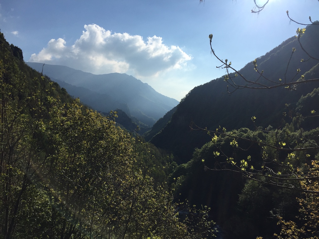
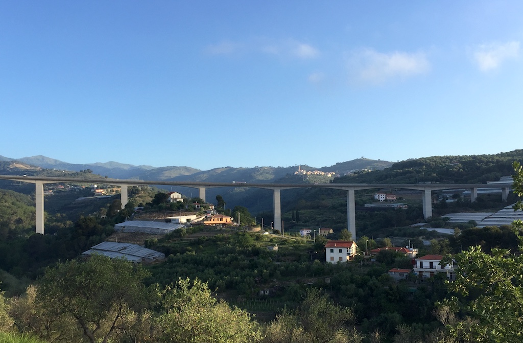
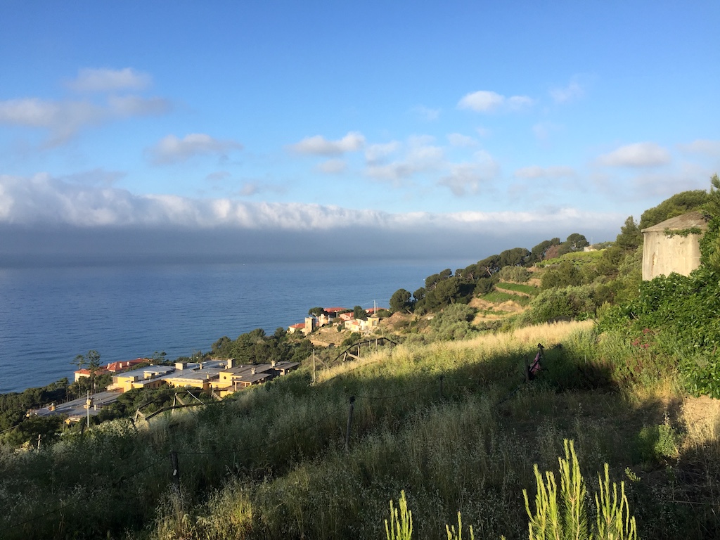
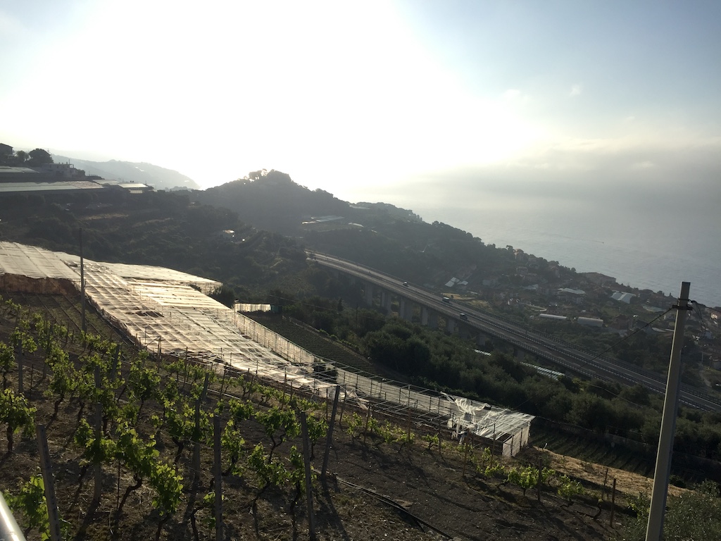
I picked out all the major mountains I’d never ridden before and set about some route planning to see how many I could fit in. Most are in Italy, apart from Mont Ventoux and a few Swiss stunners just over the border which it would be a shame to miss.

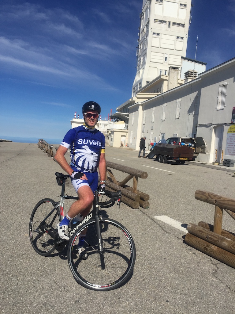
Now that the list is down on paper, it’s bloody daunting: approx. 1400km & 40,000m vertical over 3 weeks! At 85kg I’m far from a natural climber, but I’ve got my 32-tooth cog on the rear and I’m fitter than previous visits to Europe, so we’ll see how it pans out. When push comes to shove, it’s an aspirational list rather than a must-do-at-all-costs list, so I’ll adjust as I go based on how tired I am.

After all the planning and dreaming, here we are. I fly out in 10 days! I’ll be travelling solo, riding in the morning and doing a few hours work in the afternoon/evening.

So, here’s the list :-)

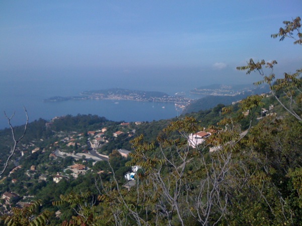
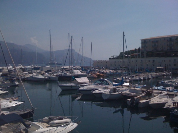
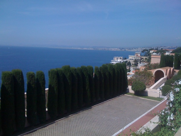
Day 1: Cipressa & Poggio - ease into it with the iconic finish of La Classicissima, Milano-Sanremo, the first of the Monuments in the cycling calendar. The pros do 298km, I’ll do the last 30.

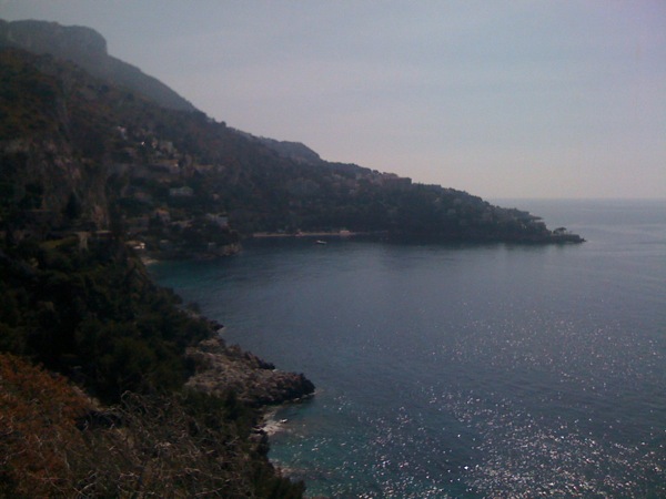
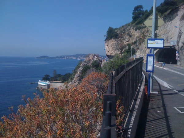
Day 2: Col de la Madone (optional) - favoured training climb of Lance Armstrong, Chris Froome and Richie Porte.

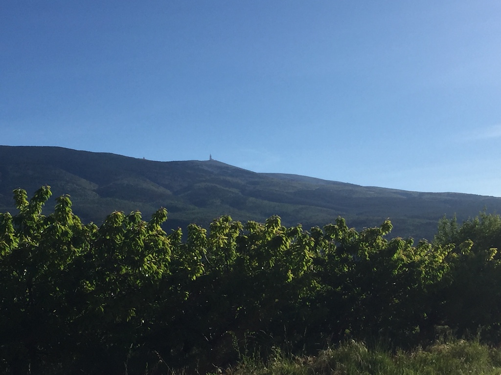
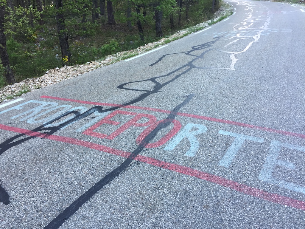
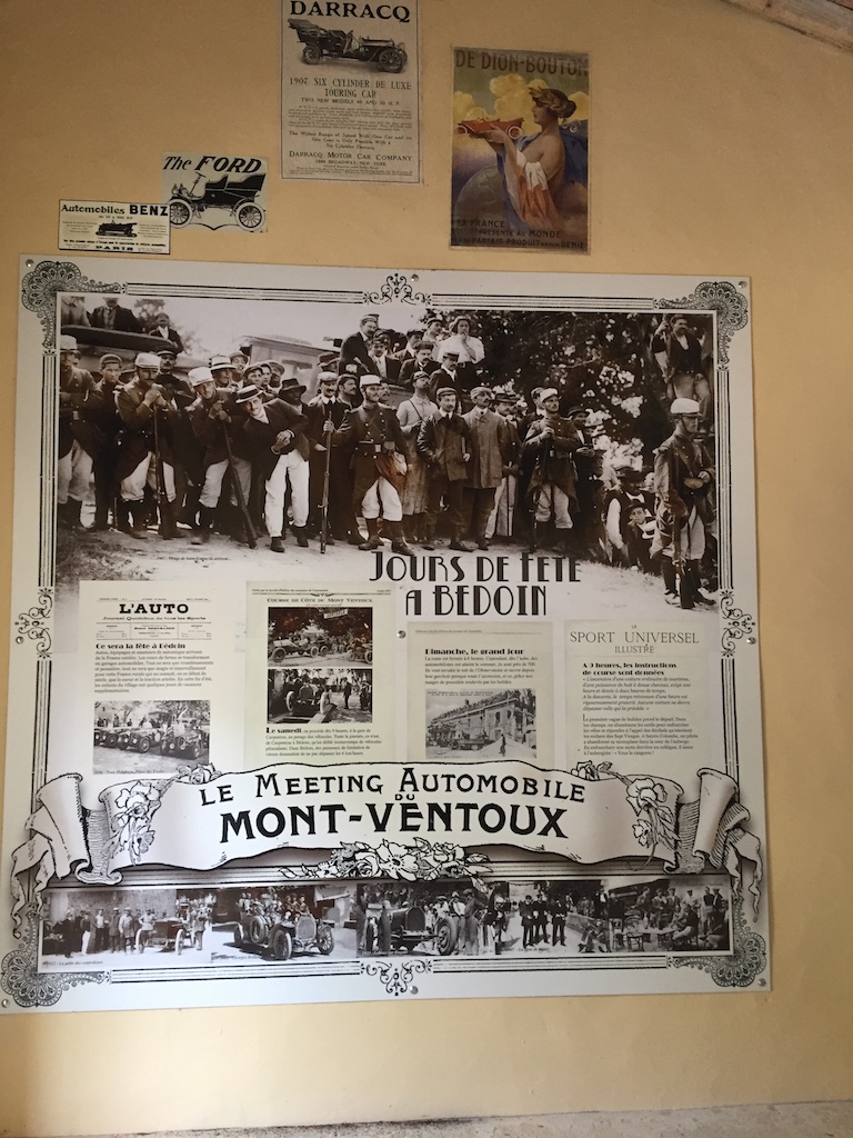
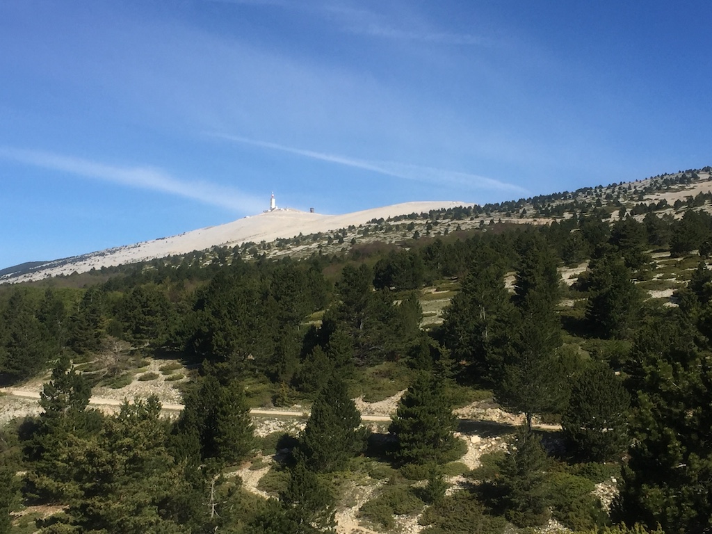
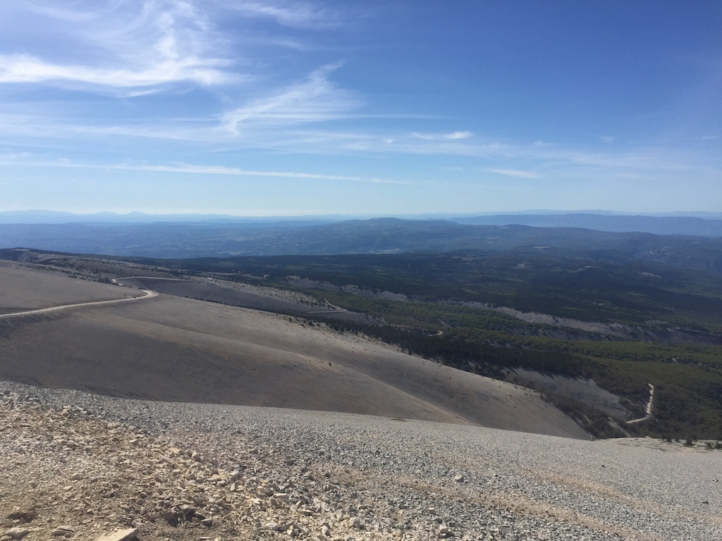
Day 4: Mont Ventoux - La Géant de Provènce. The first of the big climbs, 21km averaging 7.5% and topping out at 1912m. Iconic Tour de France climb.

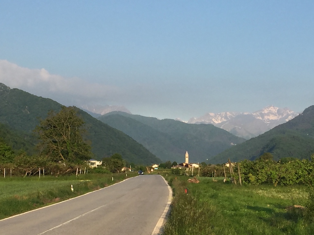
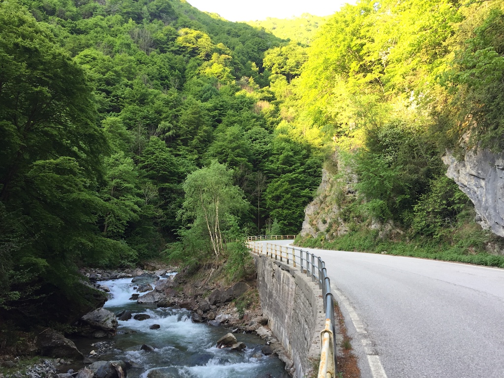
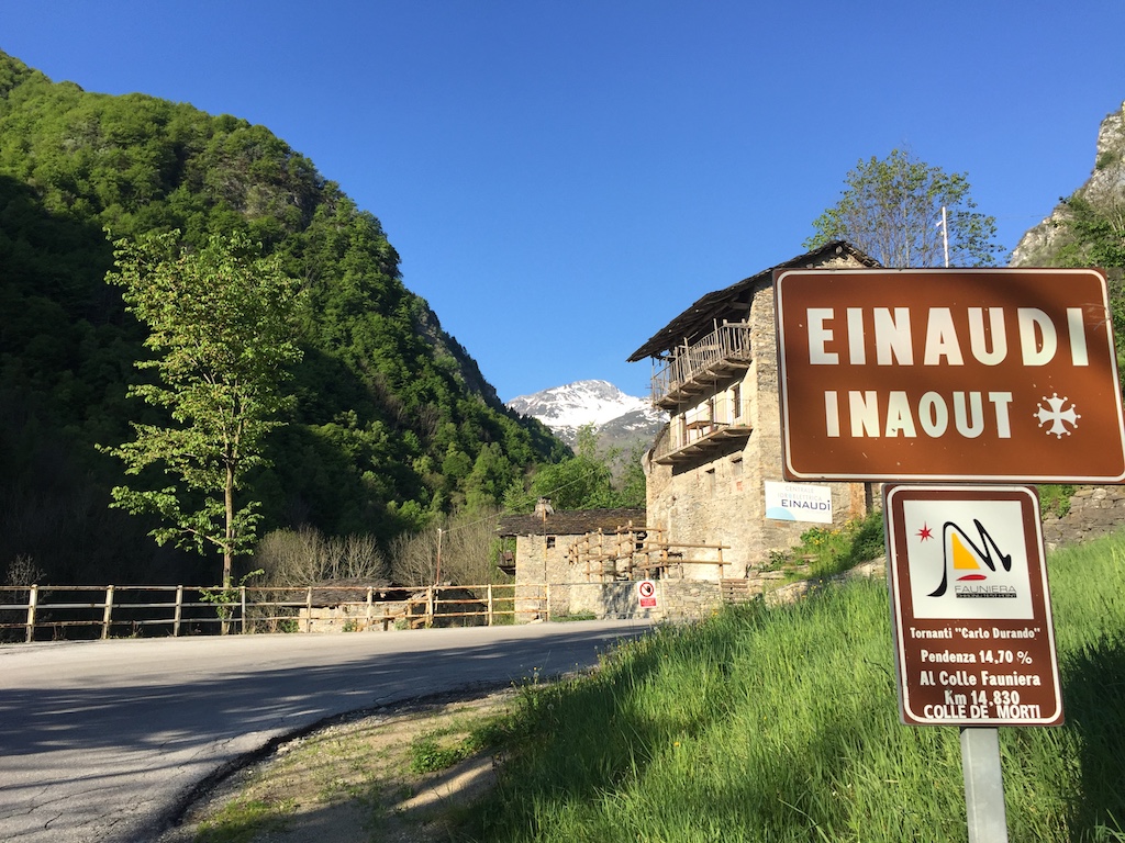
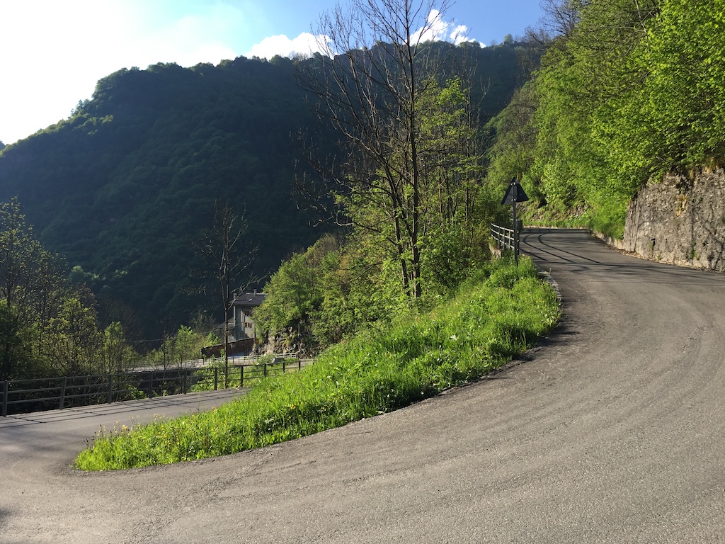
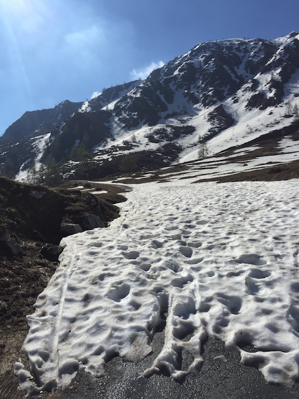
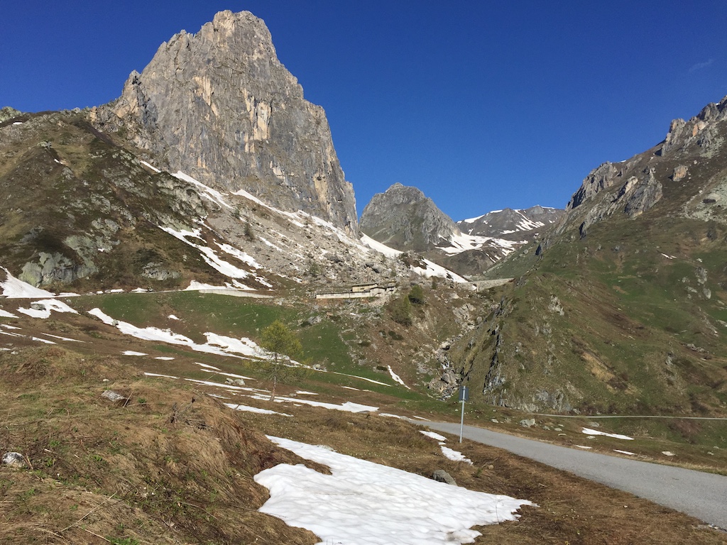
Day 6: Colle della Fauniera - back to the Italian Alps with a bang! 22.5km at 7.5%, topping out a touch under 2500m. Will notice the altitude on this one. Also known as Colle dei Morti, The Pass of the Dead.

Day 7: Mont Cenis (optional)

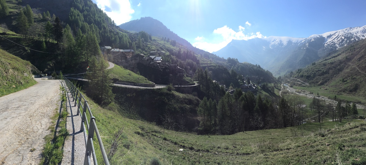
Day 8: Colle della Finestre - the first climb I’m actually nervous about. 18km at an almost constant 9.3%, some of it on dirt roads. Got its name as the view from the top was called ‘finestre sul paradiso’ - windows onto paradise.

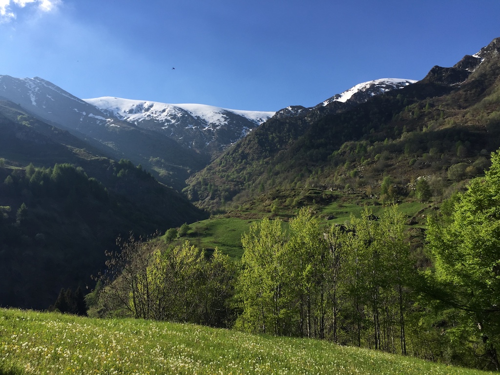
Day 9: Colle del Nivolet - Highest climb of the trip, topping out at 2612m. Stunning scenery, so hopefully not snowed in. Hopefully catch the latter stages of the Giro stage finish into Oropa.

Days 10, 11, 12: Giro watching, plus various riding.

Day 13: Passo Pellegrino and the mighty Passo Fedaia. Rewards you with a stunning gorge then kicks you in the nuts with 3km @ 13% straight after.

Day 14: More Giro watching, with Passo Pordoi (both sides), Passo Sella and Passo Gardena. Sella Ronda - some of the most stunning scenery in the Dolomites too!

Day 15: Passo Rolle, both sides. The mountain that first brought the Giro to the Dolomites, 75 years ago.

Day 17: Big day out: Passo Campolongo, Passo Giau, Tre Cime di Lavaredo and Passo Falzarego to finish off. Giau’s another big one: a bit over 10km, averaging a bit over 9%.

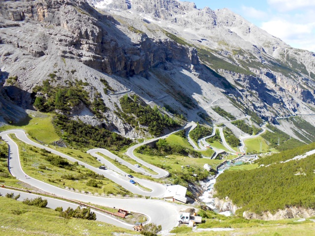
Day 19: Off to Switzerland for the Furkapass - Grimselpass - Sustenpass loop, all three over 2000m. Bond movies, glaciers, hairpins and stunning vistas should help to keep the mind off the 130km with 4000m+ of vertical.

Day 20: Backing up: another long day, over Nufenenpass (2478m) “one of the most intimidating prospects in the Alps for a cyclist”, then down the other side and, bugger the tunnel, over St. Gotthardpass and its old cobbled road.

Day 22: All the massive climbs are done, so it’s only fitting to finish with Muro di Sormano and a visit to the museum atop Il Ghisallo. Madonna del Ghisallo was deemed the patron saint of cyclists by the Pope back in 1949 and the museum has gathered the greatest collection of cycling history over the years, as superstitious or grateful champions have donated items to the collection.

Tour Down Under Wrap-up

It’s been a little over a week since I returned from the Tour Down Under and my legs are just about recovered. Here’s the training load over the week:

As you can see, training was pretty flat after being away for Christmas and then ramped up hugely for the week of the Tour Down Under.

What happens is that up to 50 of our club travel down to Adelaide with their bikes and spend the week riding through the Adelaide Hills, sampling the small-town bakeries and intersecting with the race to watch the pros do their thing.

In practice it means riding around 100km per day through the hills, so the workload (the pink line) goes through the roof and you dig massive hole of fatigue (see the green line above). During normal training I tend to take a day off if the green line dips under -30, but I hit -98.6 by the end of the TDU! That’s not sustainable, but I knew I could hack it as a once-off, which is why I did almost nothing the following week. The benefit is an almost 50% increase in fitness (blue line) in one week!

It’s also an interesting process, seeing both how far you can push yourself and how your body reacts. For me, all that really happens is that above-threshold efforts become really hard, but I was still climbing at threshold at the end of he week which I was happy with.

After the well-earned rest week, Monday rolled around and it was time to get back into it. Most of my riding for the last few months has been at a reasonably comfortable pace as I built my fitness up, but now that the fitness is there to handle the extra workload, it’s time to start adding some shorter, harder intervals in a bid to get faster.

I stagnated last year, so I’m determined not to let that happen again this year. Time will tell!

Col d'Eze

(it seems the Garmin got confused and merged yesterday's ride to Juan-les-Pins with today's in the opposite direction)

After yesterday’s debacle I was keen to get out and ensure that the Shimano/SRAM hybrid was OK in the hills. Kevin suggested I try out the climb to Col d’Eze, so after figuring out where it was on the map I plotted a route. This all took a bit longer than anticipated, as without internet in the apartment, or a data package on my French SIM, I was restricted to paper maps, not Google Maps. Old-skool!

Off I went at 7am this morning, greeted with clear blue skies and nary a car on the roads. I had two Michelin maps stuck in my back pocket to assist with route-finding and things were looking good. Getting on to the road to Col d’Eze required a couple of U-turns as I realised I’d overshot the required turn, but I was slowly making my way uphill at gradients between 7 and 12%. Avenue de la Condamine was my target, and once there it was simply a case of following the road until I reached the Col. The relatively constant gradient made it easy enough to settle in to a rhythm and I reached the top around 8am.


Near Col d'Eze looking back towards Nice

Just to rub things in, I texted Kev to point out that he was probably sitting on a bus on his way to work, whereas I was sitting atop the Col on my way to Monaco! Rather than drop straight back down to the coast I decided on the longer, more gradual downhill which would take me above Monte Carlo and would reach the coast closer to Menton. The morning traffic had picked up a bit and I was settled in behind a group of cars when a rider wearing a Monaco club outfit went past. I decided to follow him and, since he obviously knew the roads, I was able to speed downhill with relative abandon, using him as a guide to how tight upcoming corners were. Over the course of about 10km I only lost about 150m to him, so I was pretty happy with that and since we were travelling a lot faster than the cars, I didn’t have anyone behind me waiting to get past. Good fun.

I reached the coast at a small town between Menton and Cap Martin. I was off the edge of the detailed Nice map I had, and the other map covered the whole South-East of the country so it wasn’t detailed enough to figure out which streets I needed to take, so I decided to stick to the coast and follow the road signs for Nice, being careful to avoid ending up on the autoroute! This was probably the best part of the ride: the Mediterranean on one side, the mountains on the other, and riding through all the famous towns in the area: Cap Martin, Monte Carlo, part of the F1 course in Monaco, Cap-d’Ail, Beaulieu-sur-Mer, a coffee stop in St-Jean-Cap-Ferrat, then back home to Nice.


Rascasse Corner on the Monaco F1 track


Near Beaulieu-sur-Mer, looking back to where I've come from


...and where I'm going to.


The harbour in St. Jean Cap Ferrat


Almost home: near Villefranche-sur-Mer, looking towards Nice

Home four hours and 70km or so after I’d started, and it was still only 1130am. Despite the roads being narrow and cars having to wait behind me in parts, no-one honked at me, no-one told me to get off the road, and everyone left a decent amount of room when going past. A big difference from bogan Sydney drivers! I could get used to living in this part of the world.

Nice

My first few days in Nice have been great. Spent the first day getting set up with a French SIM card, some food for the apartment and re-building my bike after the flight, before heading out for a ride along the coast to Juan-les-Pins, where Sean’s wedding will be held. All went well until I reached Juan-les-Pins, at which point my rear derailleur stopped working. It was stuck in the hardest gear too and kept trying to shift completely off the cog. Not what you want when you’re 25km from home in a foreign country where you don’t know anyone. A guy in a car garage saw me messing around with it and offered to help, at which point my schoolboy French let me down. I assumed the cable had come loose, but I had no idea what pliers was in French, so when I tried to ask him if he had any pliers I was in fact asking him if he had folded himself??!! We managed to figure things out in the end though and at least lock the derailleur in an easier gear so I could ride home.

Once back in Nice, a quick trip to the bike shop revealed that the shifter mechanism was broken (dodgy baggage handling!) and needed replacement. Of course, no bike shop in Nice stocks SRAM, so I had to go with a new Shimano shifter, then, because Shimano and SRAM aren’t compatible, I had to pay for a new Shinamo rear derailleur as well. Given that there’s no way I was cycling in the Alps with only two gears, I didn’t really have a choice in the matter, so €210 later and the bike was good to go, though looking a bit unsightly due to the Shimano cables exiting out the side of the lever instead of being routed under the handlebar tape like SRAM.